
3D Mapping
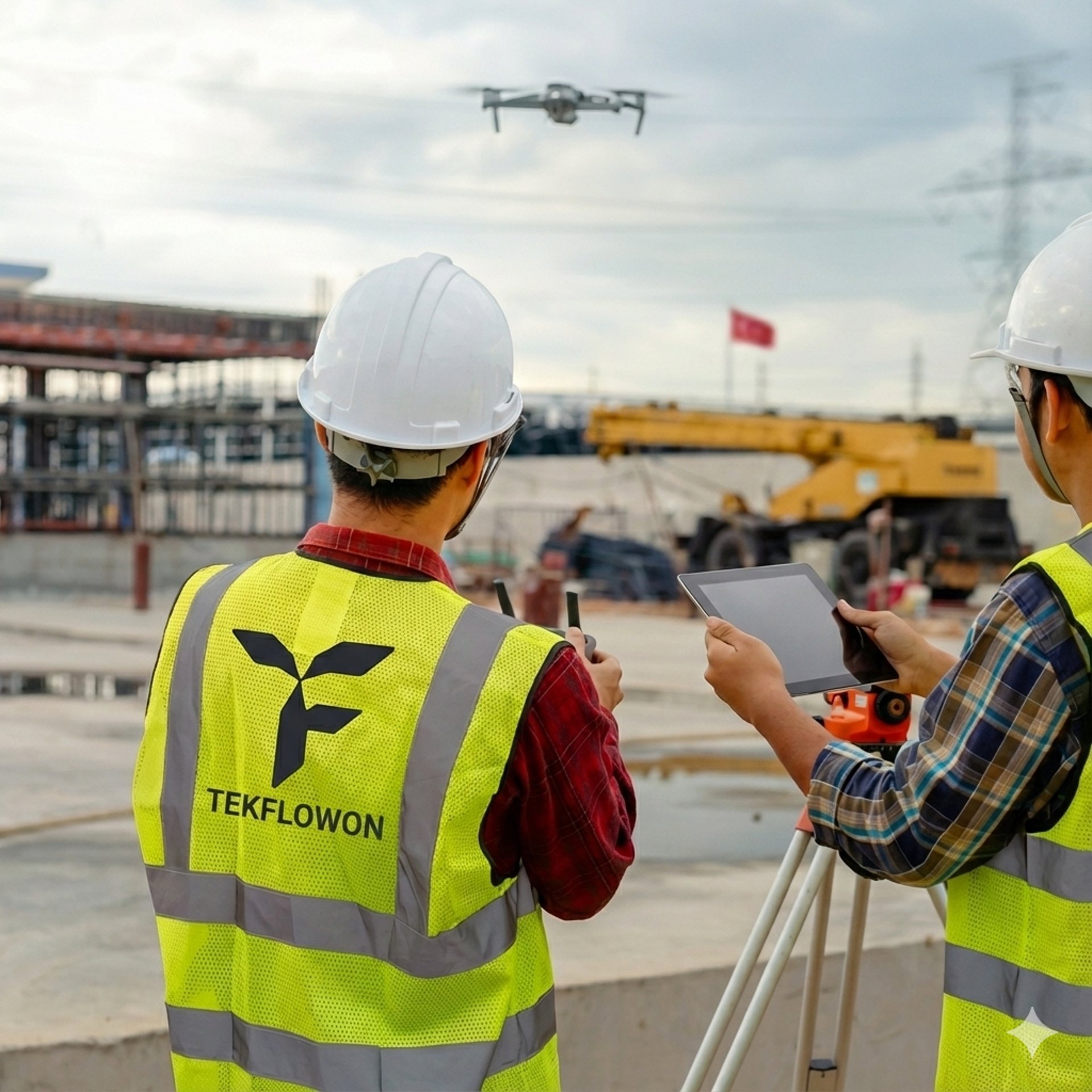
🏗️ Construction Progress Monitoring:
Our drones capture regular aerial images and videos, turning them into progress reports that make it easy to track work, identify delays, and share updates with stakeholders.
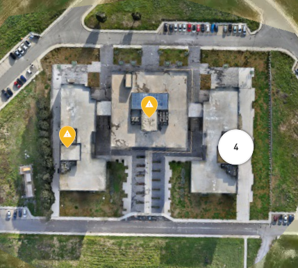
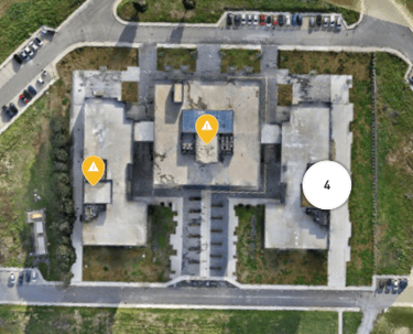
🗺️Aerial Surveying & 3D Mapping :
•Tekflow produces high-accuracy maps and 3D terrain models using drones and photogrammetry.
Protect your assets.
Reliable, scalable, and intelligent drone technology built to protect your assets and optimize your workflow.
Bize Ulaşın
Projenize özel inceleme, haritalama, izleme ve otomasyon çözümlerini birlikte değerlendirmek için bizimle iletişime geçin.
E-posta
Telefon
© 2025. All rights reserved.